Understanding Point Clouds: The Powerhouse of Precision Measurements
As your dedicated guide to the digital realm, I’m thrilled to present an overview of one of the most powerful tools in the realm of high-precision measurements – Point Clouds. Let’s uncover what it is, how it’s used in various industries, the leading devices available in the market that can produce point clouds, and the top-tier software available to process these point clouds.
What Is A Point Cloud?
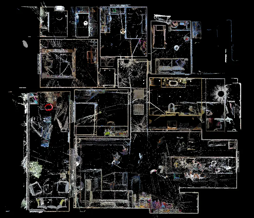
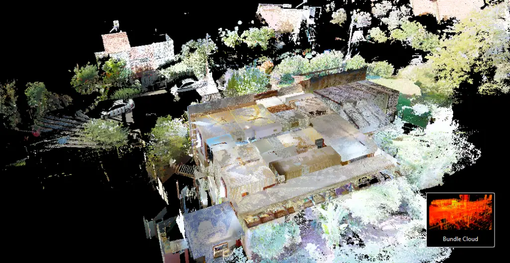
A point cloud is an assembly of data points in a three-dimensional coordinate system. These points, which represent the external surface of an object, are generally captured by 3D scanners or LIDAR sensors and are used to make digital 3D models of the scanned object. Point clouds provide an intricate level of detail, offering a high resolution and accurate model of the real world, capturing even minute details of the object or the environment scanned.

Point Clouds in Measurement Industry
Point clouds have revolutionized the measurement industry, ushering an era of unprecedented accuracy and detail. In the realm of industrial design and manufacturing, point clouds are used for quality control, allowing manufacturers to compare physical objects with digital prototypes in real-time. This aids in detecting defects and reducing manufacturing errors, saving resources and time.
Moreover, point clouds have found extensive applications in the fields of architecture, engineering, and construction (AEC). They are instrumental in conducting precise surveys, aiding in the process of BIM (Building Information Modelling), and helping to facilitate renovations and extensions of existing structures.
In addition, point clouds have also been embraced by the geospatial industry for tasks like mapping and topography, providing unparalleled accuracy and detail to land surveys, city planning, and environmental studies.
Devices That Produce Point Clouds
Several devices are available on the market that can generate point clouds. Among these, 3D scanners and LIDAR (Light Detection and Ranging) sensors are the most widely used.
3D Scanners – These devices capture the geometry of an object using laser or structured light. There are many types of 3D scanners, including handheld devices like the Artec Eva or stationary scanners such as the FARO Focus series, tailored to different requirements based on scale and accuracy.
LIDAR Sensors – These sensors emit a pulsed laser to measure variable distances to the Earth. LIDAR sensors, such as the Velodyne’s Puck LITE or the Leica Geosystems’ LIDAR sensors, are typically mounted on drones, aircraft, or satellites to capture large-scale point clouds of terrain, cities, and infrastructure.
Software for Processing Point Clouds
Processing point clouds into actionable data or visually comprehensive models requires robust software. Some top software options on the market include:
- AutoCAD Civil 3D – AutoCAD Civil 3D is a powerful, widely used tool for civil engineering design and documentation. It can import and handle point clouds, enabling the creation of digital terrain models and facilitating engineering designs.
- Leica Cyclone 3DR – This is a versatile software that offers a range of tools for point cloud processing, including visualization, editing, segmenting, and modeling.
- CloudCompare – CloudCompare is an open-source software capable of handling large point clouds. It is often praised for its ability to perform complex operations like 3D comparison, segmentation, and more.
- Pix4Dmapper – Primarily designed for drone mapping, Pix4Dmapper can turn point clouds into photorealistic 3D models or orthomosaics.
Point clouds have truly revolutionized the way we perceive and interact with the world around us. By investing in the right equipment and software, businesses across various industries can harness the potential of point clouds for detailed, accurate, and efficient measurement, modeling, and assessment. Step into the future of precision with point clouds.